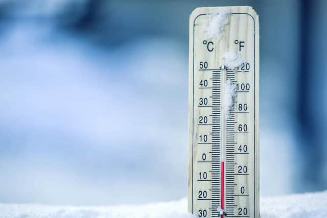
Cold weather warning issued for England set to last three days - Met Office and UKHSA issue advice
and live on Freeview channel 276
A cold weather alert has been issued for the whole of England. The warning, issued by the UK Health Security Agency (UKHSA), will be in place for at least three days.
The warning comes as low temperatures and overnight frost is set to impact the country over the coming days. The warning is in place from 6pm on Sunday (February 5) until 6pm on Tuesday (February 7).
Advertisement
Hide AdAdvertisement
Hide AdThe UKHSA is encouraging people to stay warm and look out for those most at risk from the effects of cold weather. The agency has issued advice for people on how to stay safe during the cold snap.
If you are unable to heat all the rooms you use, it’s important to heat the living room during the day and the bedroom just before going to sleep. Wearing several layers of thinner clothing will keep you warmer than one thicker layer. Having plenty of hot food and drinks is also effective for keeping warm.
Dr Agostinho Sousa, Consultant in Public Health Medicine at UKHSA, said: “Cold weather can have serious consequences for health, with older people and those with heart or lung conditions particularly at risk.
“It’s important to check in on family, friends and relatives who are more vulnerable to the cold weather. If you have a pre-existing medical condition or are over the age of 65, it is important to try and heat your home to at least 18C if you can.”
Advertisement
Hide AdAdvertisement
Hide AdDavid Oliver, a Deputy Chief forecaster at the Met Office, said: “From Sunday and into early next week an area of high pressure will dominate the UK’s weather.
“This will bring some cold nights with a widespread frost across the country. However, by day temperatures will recover to around mid-single figures, near normal for the time of year.”
Met Office UK weather forecast
The Met Office outlook for the next few days warns of freezing fog patches and widespread icy conditions. By Wednesday (February 8) there may still be cloudy and windy conditions across many areas of the country, but the temperatures should be slightly higher.
Weather, February 4
Many southern parts will be rather cloudy; drizzly outbreaks in a few spots, mainly the west. Northern UK will see heavier rain and strong winds spreading south-eastwards, reaching northern England and Wales later, followed by showery conditions. It will be fairly mild, but colder in the north later.
Advertisement
Hide AdAdvertisement
Hide AdPatchy light rain crossing southern UK, clearing later. Blustery showers in the far north easing, then many areas clear and cold; fairly widespread frost in northern and central areas.


Weather, February 5
Showers in far northeast Scotland will ease, then most areas having a fine day with long spells of winter sunshine. Temperatures will be colder than Saturday but offset by sunshine and light winds.
Largely dry with the best of the sunshine, but also overnight frost and some freezing fog patches, in the south. Cloudier and windier with occasional rain in the northwest.
