
Met Office issues yellow ice warning for Bedfordshire with temperatures expected to plummet
The Met Office has issued a yellow ice warning for the east of England, including Bedfordshire, with temperatures expected to plummet overnight this week.
The warning is valid from midnight until 11am on Wednesday, November 19, and comes as outbreaks of rain are expected to spread southwards across the region from Tuesday night into Wednesday morning.
They will potentially fall as snow on hills for a time, before clearing south, with temperatures then falling close to or below freezing, bringing the risk of icy patches on untreated surfaces.
The Met Office also warns that temporary slushy snow deposits will be possible where snow persists, especially on grassy surfaces, but that any significant accumulations will be restricted to communities and transport routes above 300 metres in elevation.

Latest forecasts indicate temperatures could drop to around 3C in Bedfordshire into the early hours of November 19, meaning precipitation will mainly fall as rain, but could be wintry at times.
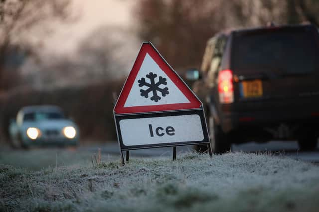
The Met Office warns that the forecast is likely to lead to icy patches on untreated roads, pavements and cycle paths, and there is an increased risk of slipping or falling on icy surfaces.
The Met Office’s advice regarding icy weather includes leaving the house at least five minutes earlier than normal to avoid rushing, using main roads and pavements alongside main roads if making journeys by car, bike or on foot and checking road conditions and travel updates in before setting out, so that you can change your travel plans if necessary.